This blog has been neglected for the past year due to… let’s say activity reprioritization. Or temporal resources deficit. Anyway, I’ll try to get up to date and I’ll start with this year’s epic adventure: doing the Tour du Mont Blanc (TMB) on a bike.
For whoever’s not familiar with the TMB (hi mom!), it’s a very popular hiking route going around the Mont Blanc massif. It crosses troix pays: France, Switzerland and Italy. It’s around 175 km with 8000 m of elevation gain. For whoever has some mountain biking experience, doing 175/8 gives you an average of 22 km per 1000 meters of elevation (or an average gradient of just under 10%) – so you know it’s going to be gnarly. This route hosts the Ultra Trail du Mont Blanc – the most popular trail ultramarathon in the world. I arrived in the area at the end of August (a week before the race) and left just as the first of the UTMB races were starting.
I planned the route in 5 days. It looks like quelque chose that can be done in 4 days, but I planned 5 to have an easier pace and enjoy the views and the area. I also had an extra day in case of bad weather. I tried to bring as little gear as possible – only had a day pack (which included my DSLR) and a frame bag. I didn’t want to carry a tent+sleeping bag and relied on spending the nights and eating in alpine huts.
I’ll add the logistics/planning details in the final post of the series. This first post covers day 1 (and the day before it).
Day 0
It’s only fitting I start my TMB adventure with a hike a bike from home to the bus station. Just a km away, but still far enough that I already got blisters from the new MTB shoes. It’s going to be a long week..
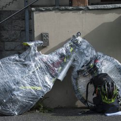
Didn’t manage to find a bike box, so I tried another approach at packing Kenosha. And guess what.. it didn’t fit through the X-ray machine at Otopeni Airport. Had to remove a wheel, then repack it. Good to know in the future.
Landed in Geneva with half an hour delay. Cinq minutes shy of missing my shuttle to Chamonix. Once there, I had to take care of some administrative tasks:
- Assemble the bike. Kenosha survived the journey. As I saw the gears and brakes working as expected, I finally relaxed.
- Get a bike map from the tourist office so I can finally understand where I’m allowed to bike in the valley. During July and August (the busy summer months), bikes are only allowed on a handful of trails in the Chamonix Valley area. I saw on this year’s map they relaxed the rules a little (compared to the information I found online).
- Buy some supplies and also something to eat. Found a good burger joint (Poco Loco). Instead of that fluffy bun classic burgers use, they had French bread. Nice touch!
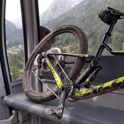
- And that’s how Kenosha flew
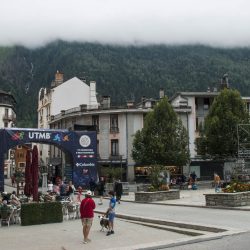
- Chamonix getting ready for the UTMB
Day 1
After going over the Chamonix valley bike map, I had a plan in place:
-
- Started with the Chamonix – Argentiere trail. This ended up being just a gravel road through the forest. Boring.
- Followed with the Petit Balcon Nord. Mostly single track. Lovely trail.
- Ended in the Le Tour area.
- Chamonix to Argentierre
- Going up Le Tour
A day pass for riding your bike in Le Tour is just 23 eur. A bargain! Couldn’t help myself. So what do you get?
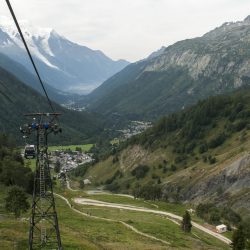
- 3 cable cars:
- Charamillon – gets you from Le Tour halfway up the mountain;
- Autannes – gets you from the upper station of Charamillon up to the top, at the Col de Balme;
- Vallorcine – this one is on the other side of the mountain, starting from the namesake village.
- Trails:
- On the Le Tour side there is one big trail from top to bottom (the first half is called Cerfs, while the second is called Chevreuils). There is another trail (Marmottes), but it was closed for work);
- On the Vallorcine side there are several trails, wilder, with fewer markings. I didn’t have the GPS tracks for them, so I struggled to follow one.
The trails in Le Tour are purpose built for biking. They’ve got drops, jumps and switchbacks. They’re not difficult and can be done even with a hardtail (but I wouldn’t understand a person that uses a hardtail in a bike park). I spent all afternoon riding in Le Tour. No, I didn’t get bored.
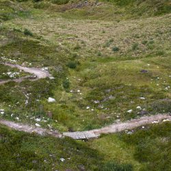
On the Vallorcine side, I started from the top with a trail that was at an easy enduro level. Afterwards I had to go down on some gravel roads (yuk) and finally managed to get on the downhill route (which was an easy one). This side of the mountain was wilder, more remote and the trail resembled those in Romania. So I just returned to Le Tour and the bike trails there.
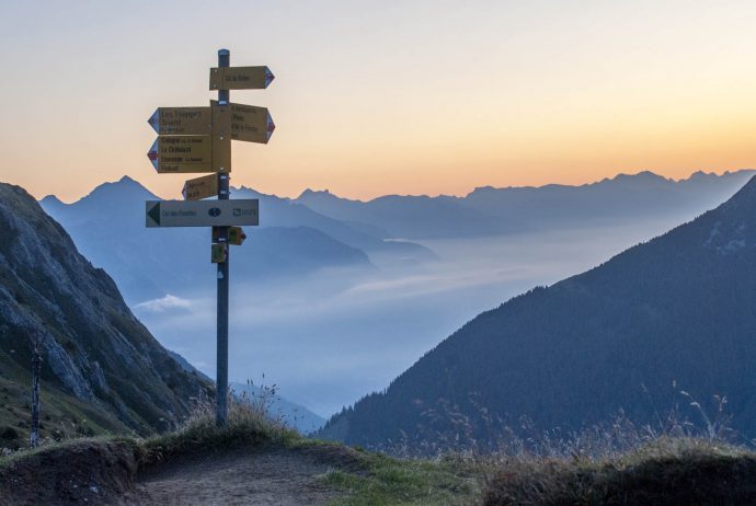
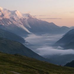
The chairlifts closed at 5 pm and I made my way to the nearby Refuge du Col de Balme, where I just sat on a chair in the afternoon sun and enjoyed the warmth and the view towards Mont Blanc.
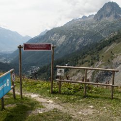
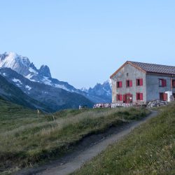
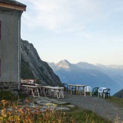
Le Refuge du Col de Balme (2190 m) est situé à la frontière avec la Suisse. Don’t be fooled by the name. This is not a mountain shelter, but a chalet, so they serve food. Unlike most Romanian chalets, they have running water and flushable toilest (just the shower was closed for renovation).
- Refuge du Col de Balme
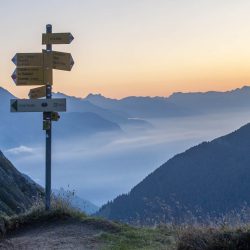
- View towards the Swiss side
- Chamonix Valley
- Supper
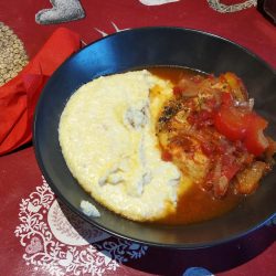
At 7 pm dinner was served. Cauliflower soup, followed by polenta with chicken and yogurt with chestnut cream.
Henry, the guy in charge of the refuge, is friendly. Il a dit que mon français est très bon, which is obviously not accurate. It’s his first year as a caretaker here and I can see the refuge is in the middle of renovation work.
